Without GPS: EU researchers develop satellite-independent navigation system
(www.heise.de)
from tfm@europe.pub to technology@lemmy.world on 26 Mar 2025 11:59
https://europe.pub/post/54806
from tfm@europe.pub to technology@lemmy.world on 26 Mar 2025 11:59
https://europe.pub/post/54806
cross-posted from: europe.pub/post/54802
threaded - newest
.
And what is Galileo supposed to be then?
It’s the same as GPS (American) or Glonass (Russian). Satellite based positioning, which is vulnerable to jamming. It could also be turned off, just like the others, hence the need for an alternative.
This has, in fact, been a serious problem in the Baltic region, as Russia’s military has been jamming GPS there for some time, and it dicks up navigation for ships and aircraft there.
Yes, a search for ‘GPS jamming Baltic’ turns up hits from everything from DW to the Financial Times.
It’s a problem for maritime and aviation navigation, and a problem for both sides in the war in Ukraine. Some drones are now using fiber optic tethers to get around the jamming, that’s not much of an option for civilian traffic though.
Upon actually investigating the article, it appears to mention it as well. :-)
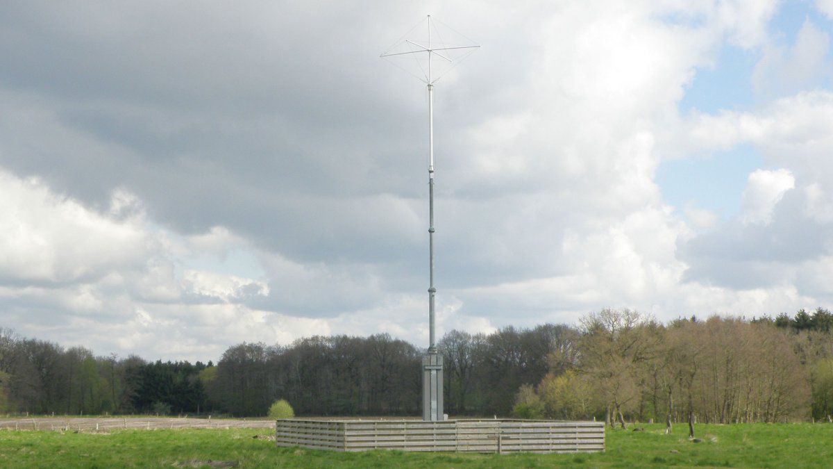
Is this new system, R-Mode, invulnerable to jamming? It uses radio spectrum, so I’d think not, but it’s not mentioned in the article.
I’m sure not, but even without looking at any technical details, it will have at least a couple benefits:
First, it’s short range. GPS satellites are in geosynchronous orbit, which is a pretty high orbit. Wikipedia says about 22,000 miles away. For GPS, the jammer is going to be far closer than the legitimate signal.
Second, I’m guessing — though we’ll see — that this is going to be a civilian system, and I suppose that they could even try to mandate that militaries not use it. GPS was, from the beginning, a military system, and there are weapons being used in Ukraine that use it for guidance. Unless you’re solely out to be a dick — which isn’t impossible — probably not a lot of benefit to stomping on civilian-only frequencies.
Nitpick: GPS satellites are not in geosynchronous orbit and are at about 12,540 miles up.
en.m.wikipedia.org/…/Global_Positioning_System
Doesn’t really negate your point, though. That’s still a lot further away than a ground based system would be.
GPS and Galileo satellites are in MEO, not GEO. GEO is a very specific altitude to keep a satellite directly over the same spot on Earth at all times (synced to the spin of Earth). MEO, on the other hand, is a wide range of altitudes roughly half the altitude of GEO. GPS sits right around 9800 nautical miles, which is 11200 miles. That’s still really far away, so your point stays the same. Galileo is in a similar orbit, I think around 200 miles lower but I can’t remember. GLONASS is there, too. Beidou from China has birds in both MEO and GEO. QZSS from Japan uses one GEO bird and three birds in a highly inclined orbit at GEO altitude.
Your two points are good. I think a third point would be that this is a different RF spectrum, while GPS and Galileo are on roughly the same RF spectrum. Jamming GPS and Galileo at the same time isn’t difficult. Jamming a very different RF spectrum at the same time is much harder.
Regarding the second point, militaries have a long history of using civilian products (see GPS in the gulf war for example) if they don’t have enough of the expensive stuff, which will lead to incentive to jam the civilian stuff as well. The article suggests that this system should be more resilient against simple jamming though.
The same thing its been for the last 20 years?
I don't seem to understand your question.
It’s a satellite based nav system. This would be a new development that is presumably ground based.
Similar to cellphone a-gps (assisted gps) with a supplemental unified NLP (network location provider) addon feature found on recent phones… but beefed-up on a large-scale. This should provide more emitter sources, whitelisting and blacklisting, and dedicated software to help discover bad or rogue emitters.
I’m going off the graphic guessing the “detectors” continuous scanning contributes into a database that users will then subscribe on to; instead of the cellphone makeing the self-processing decisions in NLP software.
There’s an already-extant ground-based vessel navigation system, Loran-C, though I’m sure that it’s possible to improve on it and I have no idea how much of the receiver hardware is still out there.
en.wikipedia.org/wiki/Loran-C